Description
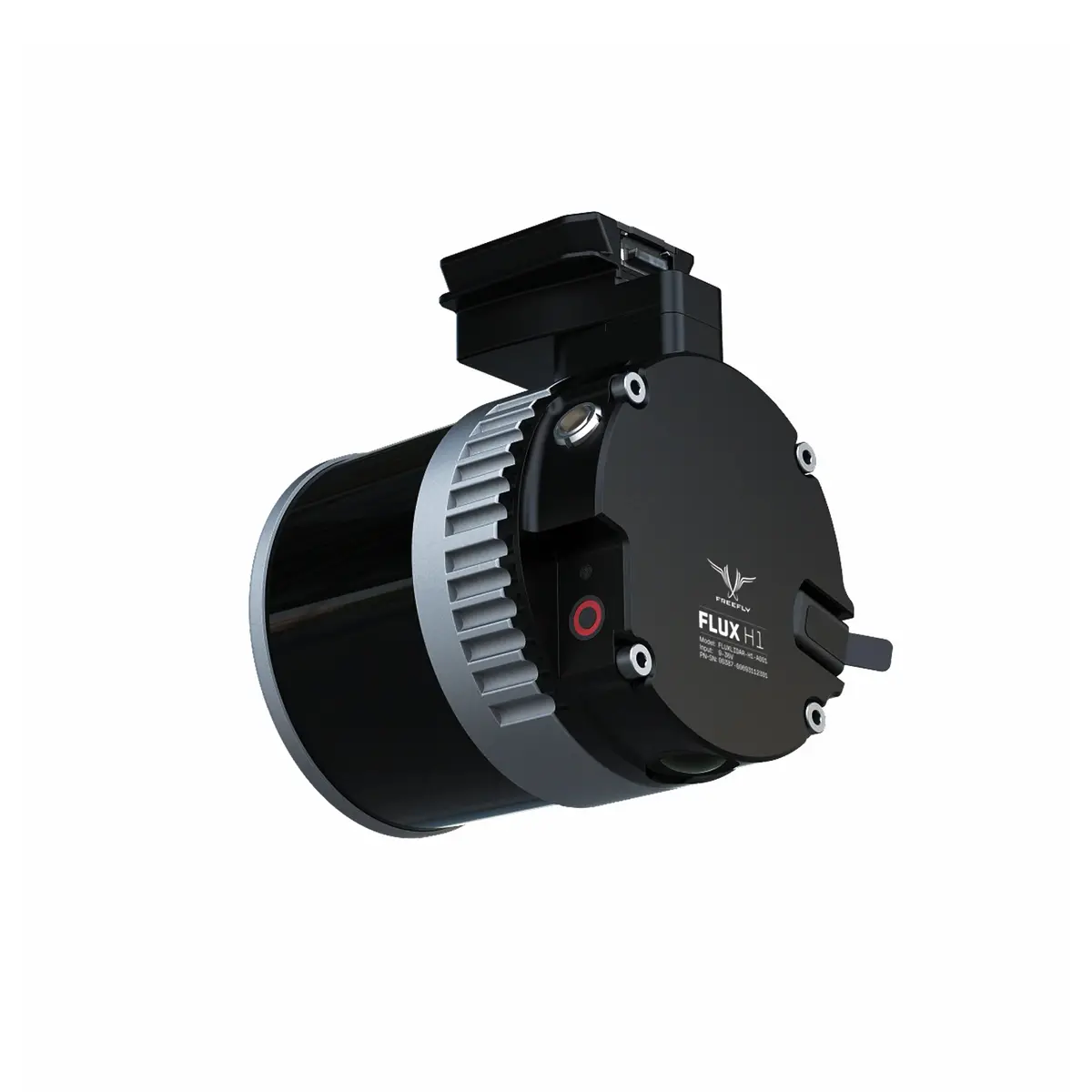
The Flux H1 delivers professional-grade LiDAR in a sub-700 g package (≈24.3 oz), built for teams that need accuracy they can trust anywhere on the planet. Pairing a Hesai 32-beam scanner with a 20 MP Ximea RGB camera, H1 captures dense, high-fidelity data with centimeter-level precision—without weighing down your aircraft or your workflow.
High-Fidelity Data, Field-Proven Accuracy
At the heart of Flux H1 is a Hesai XT-32-class engine designed for crisp geometry and reliable feature separation. Triple returns help distinguish canopy from ground and resolve thin assets like cables and handrails. Expect survey-grade performance with ±0.4 in (±1 cm) accuracy and ±0.2 in (±0.5 cm) precision across a wide 360° × 40.3° FOV, producing clean, uniform point clouds that hold up to scrutiny.
Long-Range Coverage
Maintain safe stand-off while mapping complex sites with a maximum range of ≈984 ft (≈300 m). The Flux H1 sustains point density over distance—up to 1.92 million pts/sec—so corridors, stockpiles, transmission lines, and vertical structures can be captured efficiently with fewer passes.
Workflow Built for the Field
- GNSS PPK: Dual full-band receivers (L1/L2/L5/L6) support precise post-processing for tight control over absolute accuracy.
- Straightforward exports: Output standard LAS or LAZ point clouds for frictionless handoff to survey, GIS, and inspection tools.
- Fast offload: Removable USB-C drive (256 GB included) keeps turnarounds quick between flights.
- No recurring fees: Zero software subscription or maintenance cost.
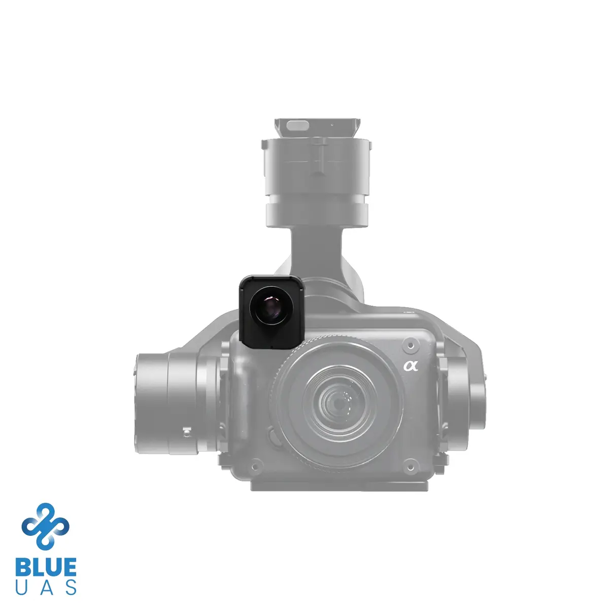
Compact, Integrated, Freefly-Native
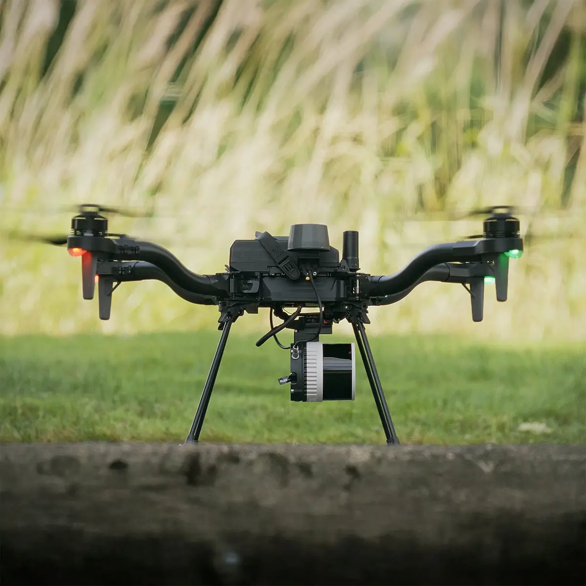
Weighing approximately ~690 g (≈24.3 oz), Flux H1 preserves flight endurance while delivering full-stack capability. The Integrated Smart Dovetail mount makes installation quick and repeatable on Freefly Astro and Astro Max. The onboard 20 MP Ximea RGB camera adds true-color context to your 3D deliverables, simplifying QA and client review.
Key Features
- Survey-grade performance: ±0.4 in (±1 cm) accuracy and ±0.2 in (±0.5 cm) precision
- Coverage: Up to ≈984 ft (≈300 m) range; 360° × 40.3° FOV
- Point density: 1.92 million pts/sec with triple returns for vegetation and fine-feature mapping
- GNSS: Dual full-band receivers (L1/L2/L5/L6) with PPK
- Data: Export LAS / LAZ; removable USB-C 256 GB storage
- Form factor: ~690 g (≈24.3 oz), Integrated Smart Dovetail mount
- Camera: 20 MP Ximea RGB for colorized point clouds and visual QA
- Cost control: No software subscription or maintenance fees
Specs
Freefly Flux H1 Specifications
Sensor Suite
| LiDAR Scanner | Hesai XT-32MX (32-beam) |
|---|---|
| RGB Camera | Ximea 20 MP |
| Laser Returns | 3 |
Performance
| Accuracy | ±0.4 in (±1 cm) |
|---|---|
| Precision | ±0.2 in (±0.5 cm) |
| Max Range | ≈984 ft (≈300 m) |
| Field of View (FOV) | 360° × 40.3° (vertical) |
| Point Rate | 1,920,000 pts/sec |
GNSS & Timebase
| Receivers | Dual, full-band GNSS (dual u-blox X20) |
|---|---|
| Bands | L1 / L2 / L5 / L6 |
| Processing | PPK (post-processed kinematic) |
Data & Storage
| Export Formats | LAS, LAZ |
|---|---|
| Included Storage | USB-C drive, 256 GB |
| Software Subscription | None (no subscription/maintenance cost) |
Mechanical
| Mounting Interface | Integrated Smart Dovetail |
|---|---|
| Weight | ≈24.3 oz (≈690 g) |
Compliance
| NDAA | No |
|---|
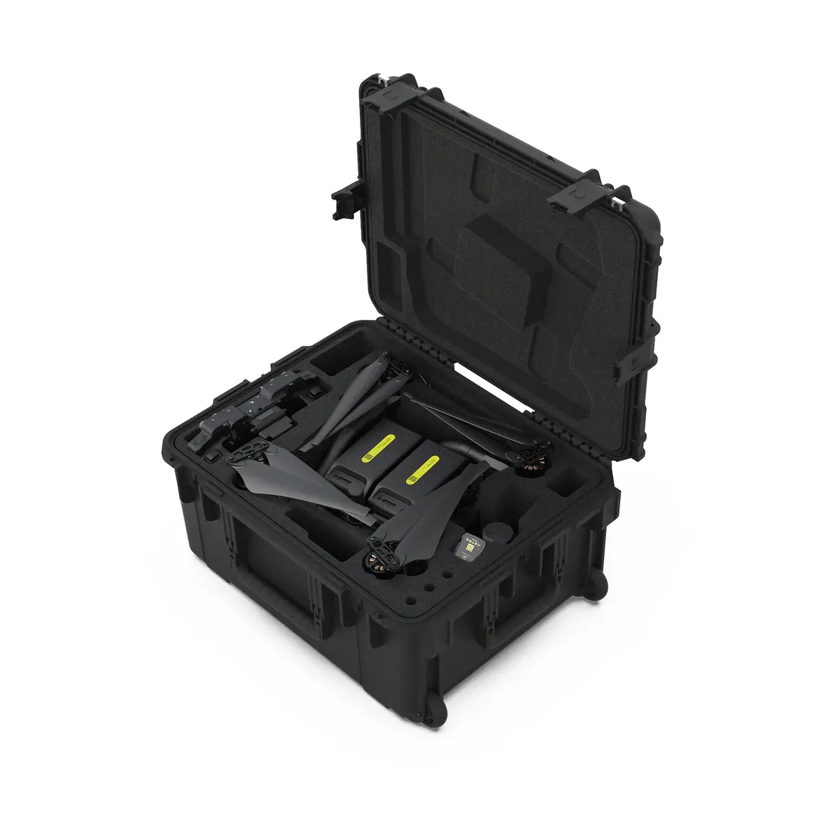
In the Box
Flux H1 Kit — P/N 950-00181
(1) Travel Case
(1) Flux H1 LiDAR Scanner
(2) High-performance GNSS antennas with quick-release mounts
(1) USB-C ⇄ Ethernet adapter (for iPad)
(1) USB-C Drive (256 GB)
Required for Operation (Not Included)
- M-Series iPad (Apple Silicon) for output processing (newer models process faster; in testing, an M3 iPad processed ~8 min of flight in ~2 min)
- GNSS Base Station (L1/L2/L5/L6) or equivalent NTRIP service
Compatibility
Freefly drones with Smart Dovetail:
- Astro
- Astro Max
Compliance
- NDAA: No
- DIU Blue UAS: No
Explore more from our collection.
Reviews
There are no reviews yet.