Description
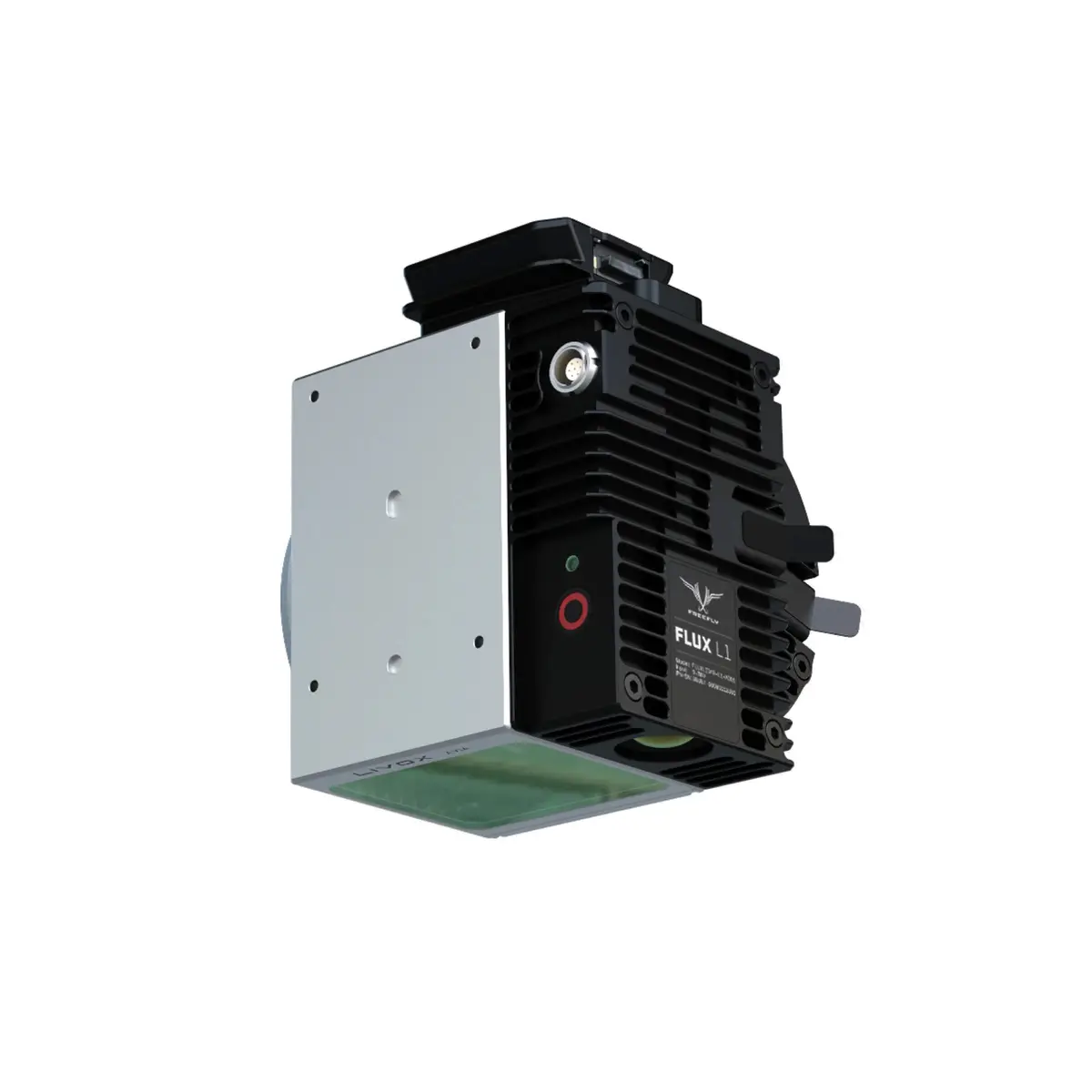
The Freefly Flux L1 brings professional LiDAR mapping within reach—without trimming capability. Powered by the Livox Avia scanner and a 20 MP Ximea RGB camera, L1 delivers clean, high-value point clouds for power line inspection, forestry, and complex assets where coverage and efficiency matter.
High-Fidelity Data, Complete Coverage
Livox’s non-repetitive scanning pattern increases scene coverage over time, revealing details traditional raster patterns miss. Triple returns aid canopy penetration and thin-object detection. Expect dependable, survey-oriented performance with ±2 in (±5 cm) accuracy and ±0.8 in (±2 cm) precision across a broad 70° × 77° FOV, producing uniform, analysis-ready point clouds.
Long-Range Capture
Cover more from each flight with a maximum range of ≈1,476 ft (≈450 m). The Avia’s beam geometry and sampling maintain useful density at distance—ideal for corridors, distribution lines, timber stands, and large sites—while supporting up to 720,000 pts/sec with triple returns.
Workflow Built for the Field
- GNSS PPK: Dual full-band receivers (L1/L2/L5/L6) support precise post-processing for tight control over absolute accuracy.
- Straightforward exports: Output standard LAS or LAZ point clouds for immediate use in survey, GIS, and forestry tools.
- Fast offload: Removable USB-C drive (256 GB included) keeps turns quick between flights.
- No recurring fees: Zero software subscription or maintenance cost.
Compact, Integrated, Freefly-Native
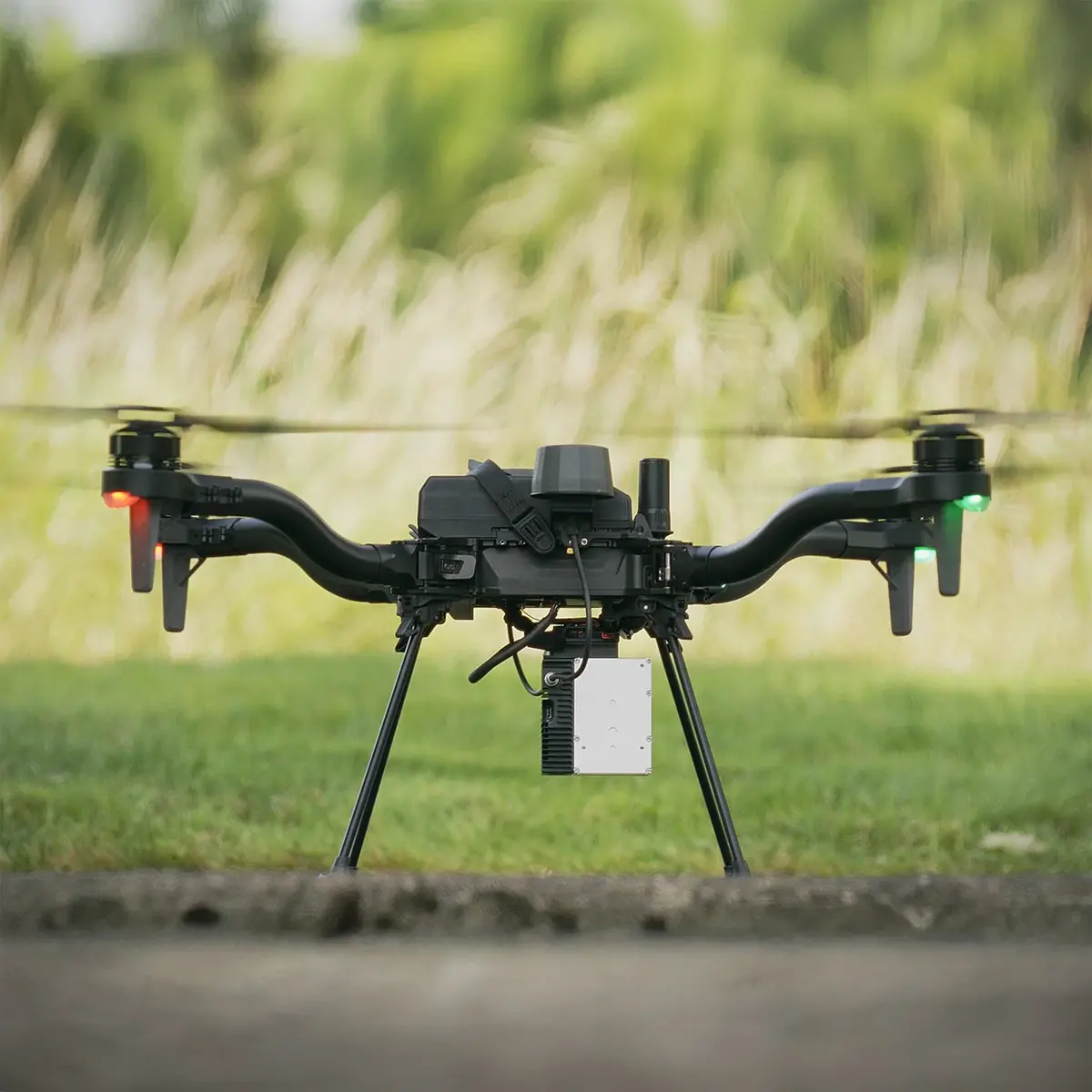
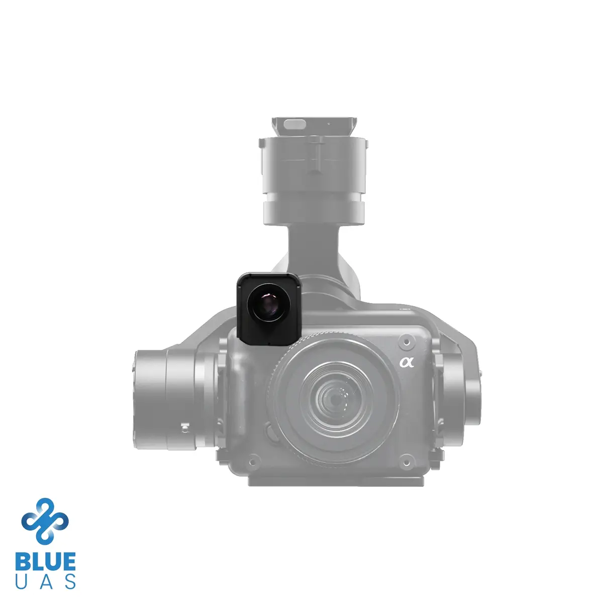
Weighing roughly ~720 g (≈25.4 oz), Flux L1 preserves flight endurance while delivering the essentials for 3D capture. The Integrated Smart Dovetail mount enables quick, repeatable installation on Freefly Astro and Astro Max. The onboard 20 MP RGB camera provides true-color context to speed QA and client review.
Key Features
- Accessible LiDAR mapping: Professional results without subscription lock-in
- Accuracy/precision: ±2 in (±5 cm) and ±0.8 in (±2 cm)
- Coverage: Up to ≈1,476 ft (≈450 m) range; 70° × 77° FOV
- Point density: Up to 720,000 pts/sec with triple returns
- GNSS: Dual full-band receivers (L1/L2/L5/L6) with PPK
- Data: Export LAS / LAZ; removable USB-C 256 GB storage
- Form factor: ~720 g (≈25.4 oz), Integrated Smart Dovetail mount
- Camera: 20 MP Ximea RGB for colorized point clouds and visual QA
Specs
Freefly Flux L1 Specifications
Sensor Suite
| LiDAR Scanner | Livox Avia |
|---|---|
| RGB Camera | Ximea 20 MP |
| Laser Returns | 3 |
Performance
| Accuracy | ±2 in (±5 cm) |
|---|---|
| Precision | ±0.8 in (±2 cm) |
| Max Range | ≈1,476 ft (≈450 m) |
| Field of View (FOV) | 70° × 77° |
| Point Rate | Up to 720,000 pts/sec (triple return) |
GNSS & Timebase
| Receivers | Dual, full-band GNSS (dual u-blox X20) |
|---|---|
| Bands | L1 / L2 / L5 / L6 |
| Processing | PPK (post-processed kinematic) |
Data & Storage
| Export Formats | LAS, LAZ |
|---|---|
| Included Storage | USB-C drive, 256 GB |
| Software Subscription | None (no subscription/maintenance cost) |
Mechanical
| Mounting Interface | Integrated Smart Dovetail |
|---|---|
| Weight | ≈25.4 oz (≈720 g) |
Compliance & Environmental
| NDAA | No |
|---|---|
| DIU Blue UAS | No |
| Avia Scanner Operating Temp* | −4 °F to +149 °F (−20 °C to +65 °C) |
| Avia Scanner IP Rating* | IP67 |
*Environmental ratings shown are for the Livox Avia scanner module.
In the Box
Flux L1 Kit — P/N 950-00180
(1) Travel Case=
(1) Flux L1 LiDAR Scanner
(2) High-performance GNSS antennas with quick-release mounts
(1) USB-C ⇄ Ethernet adapter (for iPad)
(1) USB-C Drive (256 GB)
Required for Operation (Not Included)
- M-Series iPad (Apple Silicon) for output processing (newer models process faster; in testing, an M3 iPad processed ~8 min of flight in ~2 min)
- GNSS Base Station (L1/L2/L5/L6) or equivalent NTRIP service
Compatibility
Freefly drones with Smart Dovetail:
- Astro
- Astro Max
Compliance
- NDAA: No
- DIU Blue UAS: No
Explore more from our collection.
Reviews
There are no reviews yet.