Description
Survey-Grade Photogrammetry, No GCPs Needed
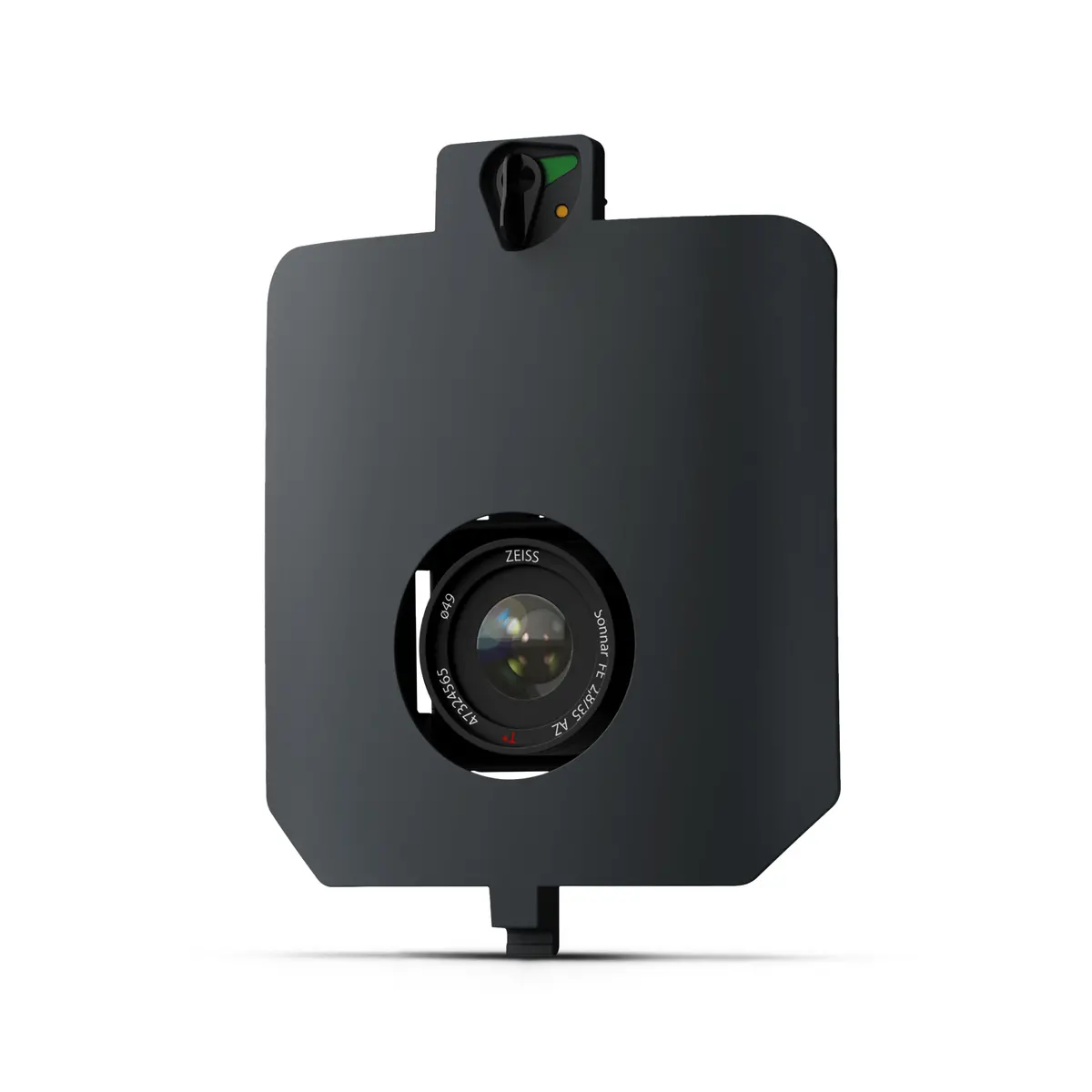
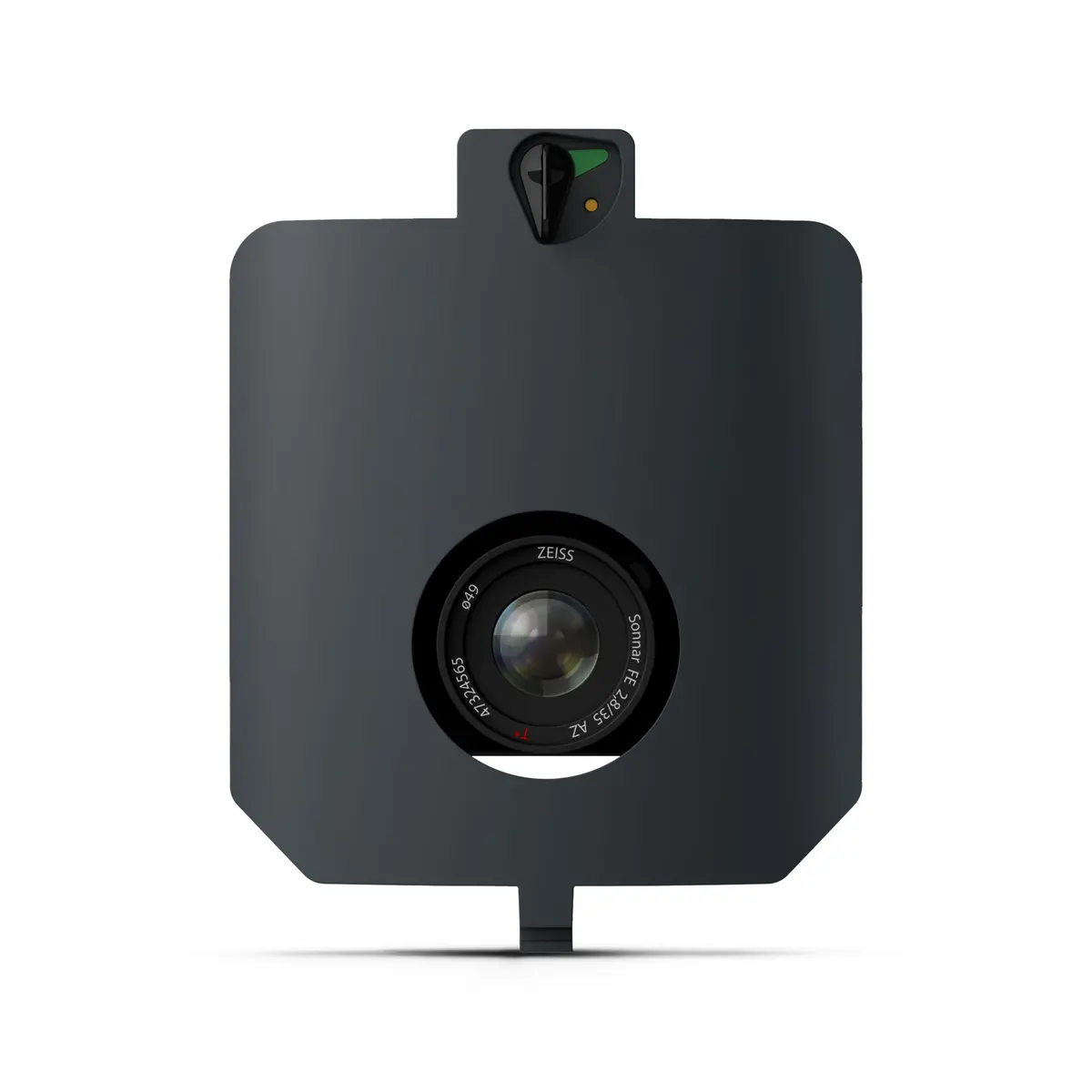
The SURVEY61 payload pairs a 61 MP full-frame sensor with a low-distortion 35 mm lens to deliver high-precision mapping down to 0.5 cm / 0.2 in GSD. Capture 310 ha / 770 ac per flight at 400 ft with survey-grade accuracy—perfect for urban planning, construction monitoring, and large-scale topo.
Key Benefits
- Survey-grade accuracy — horizontal / vertical RMS ≤ 3 cm (0.1 ft) via PPK, no GCPs.
- High resolution — nadir 61 MP sensor achieves 0.5 cm/px for detailed as-builts and BIM.
- Large coverage — map up to 770 ac in one sortie at 1.3 cm/px.
- Seamless workflow — plan, fly, and process in WingtraCLOUD for same-day orthos & DSMs.
- Quick-swap design — tool-less mount lets crews change payloads in seconds.
Specs
SURVEY61 Technical Specifications
| Sensor | 61 MP full-frame, focal-plane shutter |
| Lens / focal length | 35 mm (1.38 in) nadir |
| GSD @ 400 ft (120 m) | 1.3 cm/px (0.51 in/px) |
| Lowest GSD | 0.5 cm/px (0.20 in/px) @ 150 ft (46 m) |
| Max coverage @ 400 ft* | 310 ha (770 ac) • 90 % frontal overlap |
| Max coverage @ lowest GSD* | 120 ha (300 ac) |
| Accuracy (PPK, no GCPs) | ≤ 3 cm / 0.1 ft RMS (X, Y, Z) |
| Payload weight (incl. mount) | 585 g (1.29 lb) |
| Pixel dimensions | 9 504 × 6 336 |
| Minimal trigger time | 0.4 s • Min. trigger distance 8 m (26 ft) |
| *Coverage assumptions | 60 % side-overlap, calm conditions |
In the Box
(1) SURVEY61 payload module with 61 MP sensor
(1) Nadir quick-lock mount (35 mm lens, pre-installed)
(1) Protective lens cap
(1) Payload transport sleeve
(1) Quick-start & safety guide
Compatibility
WingtraRAY
Explore more from our collection.
Reviews
There are no reviews yet.