Description
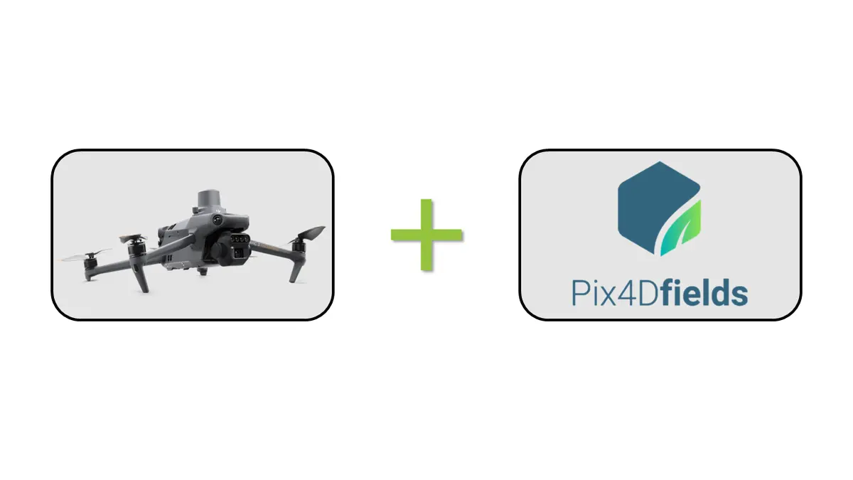
Leverage the power of this streamlined agriculture bundle with the all new DJI M3M and Pix4DFields. With this bundle, capturing and processing high quality data has never been easier.
The DJI Mavic 3 Multispectral gives you the ability to capture both RGB and multispectral data simultaneously, making the invisible visible. The M3M features a 4/3″ CMOS 20MP RGB camera as well as a 4-band (G,R,RE,NIR) 5MP multispectral camera. Flight times average 36-42 minutes with max flight endurance (without wind) is 43-minutes. This endurance will give you the ability to fly just under 500-acres in a single flight. Additionally, M3M comes equipped with an RTK module for increased position accuracy.
Pix4Dfields is one of the leading agriculture data processing softwares. Download Pix4Dfields locally onto your laptop to process real-time data in the field and export various deliverables such as: Orthomosaics, numerous vegetation maps/indices, digital surface models, zonation maps, and prescription maps.
Flying and processing has never been easier or faster!
Explore more from our collection.
Reviews
There are no reviews yet.